

 English
 Russian
 Nederlands
 Deutsch
 Español
 Français
 Türkçe
Maps of Guatemala

Maps of cities and regions of Guatemala

Fantastic City Tours and Excursions in Guatemala
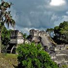
Unique places of interest in Guatemala
Santa Maria
From the series “The Most Active Volcanoes in the World”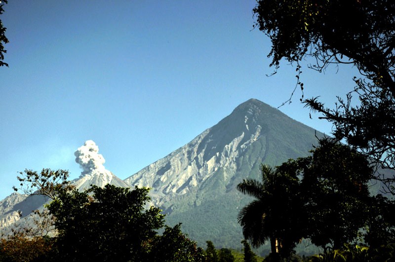 The active stratovolcano of Santa Maria is situated to the west of Guatemala, in the immediate vicinity to the city of Quetzaltenango. It’s about 3,770 meters high. According to scientists, the first eruption of Santa Maria volcano occurred about 30,000 years ago. First recorded eruption has been a little over a hundred years ago, in 1902; it has claimed the lives of six thousand people.
 The eruption has been so strong that residents of Costa Rica have heard the preceding explosion at a distance of 800 kilometers. Height of the ash stem has been about 28 kilometers; the eruption has thrown out at least 5.5 cubic kilometers of lava. This eruption was one of the most powerful and tragic in the 20th century. In 1922, a new Santiaguito mouth has formed that can be found an altitude of … Read all
Car rental on OrangeSmile.com

Aura of Guatemala in photographs


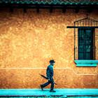
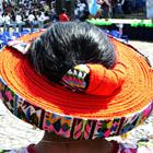


Traditions in Guatemala

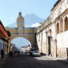
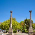
Guatemala City
The bulk of the local population is Indians who carefully preserve their centuries-old customs and traditions. Despite the fact that Guatemala is the capital of a prosperous modern state, ancient traditions can be noticed here in absolutely all spheres of life. Thus, while walking around the city you can see people dressed in national costumes. Visiting local residents' homes, at the entrance, you can see small totems - charms depicting sacred animals. They are still revered along with Christian … Read more 